 Maliakos
Current Status
Where is the vessel?
Maliakos is currently in Near San Antonio, based on AIS data received about 15h ago.
Latest AIS update:
Current position: 33.59230° S, 71.62049° W (Near San Antonio)
Average speed (last 7 days): Loading…
Average speed (last 30 days): Loading…
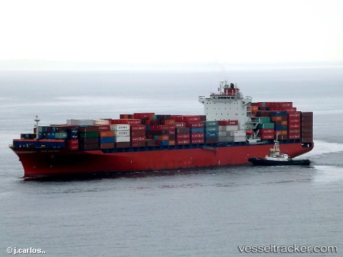
Vessel profile: Maliakos is a Container Ship with dimensions 262m x 32m.
This page combines live AIS, route history, probable destination signals, nearby traffic, and port activity for practical vessel monitoring.
The current position of vessel Maliakos is -33.59230 lat / -71.62049 lng. Updated: 2026-05-24 06:00:10 UTCNearest reference points:
- Near Valparaiso
- 28 nm W of Pichilemu
- 100 nm W of Curauma
Currently sailing under the flag of Liberia ![]()
Maliakos built in 2012 year
Deadweight:
51310 tDetails:
Live Vessel Maliakos Analytics (details, animations, etc.)
Recent AIS points (UTC):
2026-05-24 01:54:10 UTC · -33.59230, -71.62052 · SOG 0 kn · COG 163°2026-05-24 03:27:10 UTC · -33.59246, -71.62053 · SOG 0.1 kn · COG 163°
2026-05-24 05:09:10 UTC · -33.59228, -71.62055 · SOG 0.1 kn · COG 163°
2026-05-24 06:00:10 UTC · -33.59230, -71.62049 · SOG 0.1 kn · COG 163°