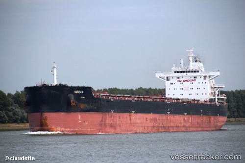
 Nireas
Current Status
Where is the vessel?
Nireas is currently in 100 nm SE of Locustville, based on AIS data received about 15h ago.
Latest AIS update:
Current position: 36.96167° N, 73.76333° W (100 nm SE of Locustville)
Average speed (last 7 days): Loading…
Average speed (last 30 days): Loading…
Vessel profile: Nireas is a Bulk Carrier with dimensions 229m x 32m.
This page combines live AIS, route history, probable destination signals, nearby traffic, and port activity for practical vessel monitoring.
The current position of vessel Nireas is 36.96167 lat / -73.76333 lng. Updated: 2026-05-23 13:34:47 UTCNearest reference points:
- 48 nm E of Nags Head
- 45 nm NE of Nags Head
- 57 nm E of Fenwick Island
Currently sailing under the flag of Liberia ![]()
Nireas built in 2012 year
Deadweight:
82067 tDetails:
Live Vessel Nireas Analytics (details, animations, etc.)
Recent AIS points (UTC):
2026-05-23 11:03:20 UTC · 37.04425, -73.19391 · SOG 9.5 kn · COG -1°2026-05-23 12:10:49 UTC · 37.00500, -73.43667 · SOG 10 kn · COG -1°
2026-05-23 13:34:47 UTC · 36.96167, -73.76333 · SOG 11 kn · COG -1°
2026-05-23 13:34:47 UTC · 36.96167, -73.76333 · SOG 11 kn · COG -1°