 Cape Aria
Current Status
Where is the vessel?
Cape Aria is currently in 47 nm SE of Kenton-on-Sea, based on AIS data received about 15h ago.
Latest AIS update:
Current position: 34.21162° S, 27.33298° E (47 nm SE of Kenton-on-Sea)
Average speed (last 7 days): Loading…
Average speed (last 30 days): Loading…
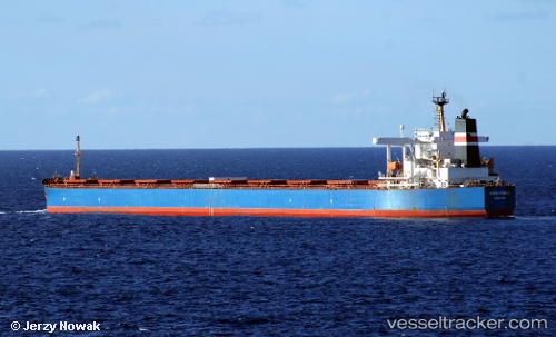
Vessel profile: Cape Aria is a Bulk Carrier with dimensions 289m x 45m.
This page combines live AIS, route history, probable destination signals, nearby traffic, and port activity for practical vessel monitoring.
The current position of vessel Cape Aria is -34.21162 lat / 27.33298 lng. Updated: 2026-05-24 07:58:54 UTCNearest reference points:
- Near Deal Party
- 21 nm S of Mount Pleasant
Currently sailing under the flag of Liberia ![]()
Cape Aria built in 2005 year
Deadweight:
176346 tDetails:
Live Vessel Cape Aria Analytics (details, animations, etc.)
Recent AIS points (UTC):
2026-05-24 04:32:24 UTC · -34.24052, 26.77755 · SOG 7.4 kn · COG 76°2026-05-24 05:53:31 UTC · -34.23402, 26.98992 · SOG 7.9 kn · COG 78°
2026-05-24 07:28:14 UTC · -34.21748, 27.24641 · SOG 8.1 kn · COG 73°
2026-05-24 07:58:54 UTC · -34.21162, 27.33298 · SOG 8.6 kn · COG 78°