 PACIFIST
Current Status
Where is the vessel?
PACIFIST is currently in 58 nm W of Salomague, based on AIS data received about 15h ago.
Latest AIS update:
Current position: 17.99796° N, 119.43528° E (58 nm W of Salomague)
Average speed (last 7 days): Loading…
Average speed (last 30 days): Loading…
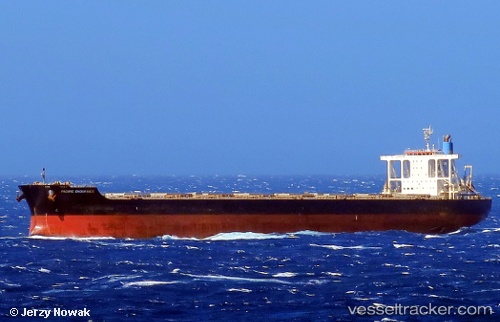
Vessel profile: PACIFIST is a Bulk Carrier with dimensions 292m x 45m.
This page combines live AIS, route history, probable destination signals, nearby traffic, and port activity for practical vessel monitoring.
The current position of vessel PACIFIST is 17.99796 lat / 119.43528 lng. Updated: 2026-05-24 08:05:19 UTCNearest reference points:
- 22 nm W of Salomague
- 138 nm NW of Bolinao
- 66 nm W of Basco
Currently sailing under the flag of Liberia ![]()
PACIFIST built in 2011 year
Deadweight:
181458 tDetails:
Live Vessel PACIFIST Analytics (details, animations, etc.)
Recent AIS points (UTC):
2026-05-24 04:35:49 UTC · 18.73737, 119.49739 · SOG 12.2 kn · COG 182°2026-05-24 05:14:29 UTC · 18.60654, 119.49004 · SOG 12.2 kn · COG 182°
2026-05-24 07:34:29 UTC · 18.11332, 119.44012 · SOG 13.4 kn · COG 181°
2026-05-24 08:05:19 UTC · 17.99796, 119.43528 · SOG 13.6 kn · COG 181°