 CAPE CAMDEN
Current Status
Where is the vessel?
CAPE CAMDEN is currently in 20 nm NW of DARLOWO, based on AIS data received about 15h ago.
Latest AIS update:
Current position: 54.60302° N, 15.86203° E (20 nm NW of DARLOWO)
Average speed (last 7 days): Loading…
Average speed (last 30 days): Loading…
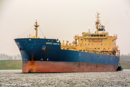
Vessel profile: CAPE CAMDEN is a Chemical/Oil Products Tanker with dimensions 184m x 27m.
This page combines live AIS, route history, probable destination signals, nearby traffic, and port activity for practical vessel monitoring.
The current position of vessel CAPE CAMDEN is 54.60302 lat / 15.86203 lng. Updated: 2026-05-23 14:11:12 UTCNearest reference points:
- Near KOLOBRZEG
- 31 nm NW of Ustka
- Near TEJN
Currently sailing under the flag of Liberia ![]()
CAPE CAMDEN built in 2009 year
Deadweight:
37791 tDetails:
Live Vessel CAPE CAMDEN Analytics (details, animations, etc.)
Recent AIS points (UTC):
2026-05-23 10:17:31 UTC · 54.61720, 15.83751 · SOG 0.3 kn · COG 337°2026-05-23 12:19:31 UTC · 54.61137, 15.85887 · SOG 0.3 kn · COG 342°
2026-05-23 13:11:21 UTC · 54.60788, 15.86411 · SOG 0.2 kn · COG -1°
2026-05-23 14:11:12 UTC · 54.60302, 15.86203 · SOG 0.3 kn · COG 10°