 MARINE BRIGHT
Current Status
Where is the vessel?
MARINE BRIGHT is currently in 207 nm E of Manakara, based on AIS data received about 14h ago.
Latest AIS update:
Current position: 22.83356° S, 51.68124° E (207 nm E of Manakara)
Average speed (last 7 days): Loading…
Average speed (last 30 days): Loading…
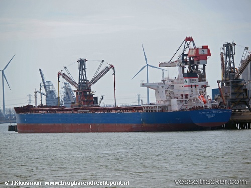
Vessel profile: MARINE BRIGHT is a Bulk Carrier with dimensions 250m x 43m.
This page combines live AIS, route history, probable destination signals, nearby traffic, and port activity for practical vessel monitoring.
The current position of vessel MARINE BRIGHT is -22.83356 lat / 51.68124 lng. Updated: 2026-05-24 01:37:29 UTCNearest reference points:
- 194 nm E of Manakara
- 209 nm E of Manakara
Currently sailing under the flag of Liberia ![]()
MARINE BRIGHT built in 2012 year
Deadweight:
114013 tDetails:
Live Vessel MARINE BRIGHT Analytics (details, animations, etc.)
Recent AIS points (UTC):
2026-05-23 21:27:11 UTC · -22.47248, 52.25561 · SOG 9.3 kn · COG 235°2026-05-23 22:01:52 UTC · -22.52272, 52.17549 · SOG 9.4 kn · COG 233°
2026-05-23 23:55:08 UTC · -22.68838, 51.91260 · SOG 9.5 kn · COG 230°
2026-05-24 01:37:29 UTC · -22.83356, 51.68124 · SOG 8.7 kn · COG 234°