 CAPE PROTEUS
Current Status
Where is the vessel?
CAPE PROTEUS is currently in 181 nm S of Selat Lombok, based on AIS data received about 15h ago.
Latest AIS update:
Current position: 11.83850° S, 115.97295° E (181 nm S of Selat Lombok)
Average speed (last 7 days): Loading…
Average speed (last 30 days): Loading…
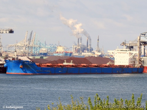
Vessel profile: CAPE PROTEUS is a Bulk Carrier with dimensions m x m.
This page combines live AIS, route history, probable destination signals, nearby traffic, and port activity for practical vessel monitoring.
The current position of vessel CAPE PROTEUS is -11.83850 lat / 115.97295 lng. Updated: 2026-05-23 19:00:43 UTCNearest reference points:
- 86 nm SE of BENETE
Currently sailing under the flag of Liberia ![]()
Details:
Live Vessel CAPE PROTEUS Analytics (details, animations, etc.)
Recent AIS points (UTC):
2026-05-23 04:55:02 UTC · -9.26507, 115.64045 · SOG 10.1 kn · COG -1°2026-05-23 04:55:02 UTC · -9.26507, 115.64045 · SOG 10.1 kn · COG -1°
2026-05-23 18:06:56 UTC · -11.68067, 115.94958 · SOG 10.6 kn · COG 166°
2026-05-23 19:00:43 UTC · -11.83850, 115.97295 · SOG 10.9 kn · COG 168°