 NAVIGATOR GLOBAL
Current Status
Where is the vessel?
NAVIGATOR GLOBAL is currently in 259 nm SE of Willow Street, based on AIS data received about 15h ago.
Latest AIS update:
Current position: 28.96348° N, 71.85279° W (259 nm SE of Willow Street)
Average speed (last 7 days): Loading…
Average speed (last 30 days): Loading…
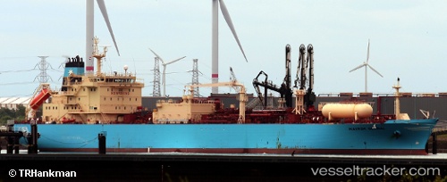
Vessel profile: NAVIGATOR GLOBAL is a Lpg Tanker with dimensions m x m.
This page combines live AIS, route history, probable destination signals, nearby traffic, and port activity for practical vessel monitoring.
The current position of vessel NAVIGATOR GLOBAL is 28.96348 lat / -71.85279 lng. Updated: 2026-05-23 10:21:03 UTCNearest reference points:
- 150 nm S of Ben Slimane
Currently sailing under the flag of Liberia ![]()
Details:
Live Vessel NAVIGATOR GLOBAL Analytics (details, animations, etc.)
Recent AIS points (UTC):
2026-05-23 07:41:56 UTC · 28.28560, -71.91211 · SOG 15.1 kn · COG 6°2026-05-23 08:00:18 UTC · 28.36284, -71.90568 · SOG 15.1 kn · COG 6°
2026-05-23 09:59:50 UTC · 28.87305, -71.86333 · SOG 15.3 kn · COG 8°
2026-05-23 10:21:03 UTC · 28.96348, -71.85279 · SOG 15.5 kn · COG 8°