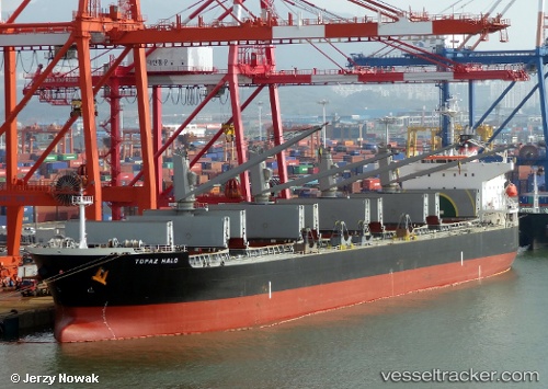
 SUPRA DUKE
Current Status
Where is the vessel?
SUPRA DUKE is currently in 28 nm NW of Vescovato, based on AIS data received about 15h ago.
Latest AIS update:
Current position: 42.72486° N, 9.96219° W (28 nm NW of Vescovato)
Average speed (last 7 days): Loading…
Average speed (last 30 days): Loading…
Vessel profile: SUPRA DUKE is a Bulk Carrier with dimensions m x m.
This page combines live AIS, route history, probable destination signals, nearby traffic, and port activity for practical vessel monitoring.
The current position of vessel SUPRA DUKE is 42.72486 lat / -9.96219 lng. Updated: 2026-05-23 20:01:29 UTCNearest reference points:
- 40 nm NW of Sarinena
- Near Portosin
- 11 nm S of Sarinena
Currently sailing under the flag of Liberia ![]()
Details:
Live Vessel SUPRA DUKE Analytics (details, animations, etc.)
Recent AIS points (UTC):
2026-05-23 16:22:29 UTC · 42.07760, -10.13710 · SOG 10.5 kn · COG 27°2026-05-23 17:24:39 UTC · 42.24849, -10.06347 · SOG 10.5 kn · COG 13°
2026-05-23 19:18:38 UTC · 42.59295, -9.97485 · SOG 11.2 kn · COG 6°
2026-05-23 20:01:29 UTC · 42.72486, -9.96219 · SOG 10.8 kn · COG 3°