 LM ARES
Current Status
Where is the vessel?
LM ARES is currently in 181 nm S of Santa Isabel, based on AIS data received about 14h ago.
Latest AIS update:
Current position: 14.94650° N, 66.70867° W (181 nm S of Santa Isabel)
Average speed (last 7 days): Loading…
Average speed (last 30 days): Loading…
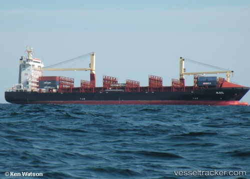
Vessel profile: LM ARES is a Container Ship with dimensions m x m.
This page combines live AIS, route history, probable destination signals, nearby traffic, and port activity for practical vessel monitoring.
The current position of vessel LM ARES is 14.94650 lat / -66.70867 lng. Updated: 2026-05-24 00:14:41 UTCNearest reference points:
- 82 nm S of Santa Isabel
- 148 nm N of Dorp Rincón
Currently sailing under the flag of Liberia ![]()
Details:
Live Vessel LM ARES Analytics (details, animations, etc.)
Recent AIS points (UTC):
2026-05-23 21:26:02 UTC · 14.77566, -66.12743 · SOG 12.2 kn · COG 290°2026-05-23 23:28:21 UTC · 14.89991, -66.55218 · SOG 12.4 kn · COG 285°
2026-05-24 00:14:41 UTC · 14.94650, -66.70867 · SOG 12.2 kn · COG 285°
2026-05-24 00:14:41 UTC · 14.94650, -66.70867 · SOG 12.2 kn · COG 285°