 APIASTOS
Current Status
Where is the vessel?
APIASTOS is currently in 17 nm E of Ceuta, based on AIS data received about 14h ago.
Latest AIS update:
Current position: 35.90202° N, 4.96324° W (17 nm E of Ceuta)
Average speed (last 7 days): Loading…
Average speed (last 30 days): Loading…
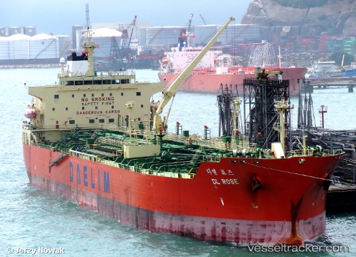
Vessel profile: APIASTOS is a Oil Products Tanker with dimensions m x m.
This page combines live AIS, route history, probable destination signals, nearby traffic, and port activity for practical vessel monitoring.
The current position of vessel APIASTOS is 35.90202 lat / -4.96324 lng. Updated: 2026-05-24 05:12:02 UTCNearest reference points:
- 30 nm E of Ceuta
- Near Waterport
- Near Algeciras
Currently sailing under the flag of Liberia ![]()
Details:
Live Vessel APIASTOS Analytics (details, animations, etc.)
Recent AIS points (UTC):
2026-05-24 01:25:02 UTC · 35.87373, -5.03614 · SOG 1.6 kn · COG 72°2026-05-24 01:47:32 UTC · 35.88394, -5.03854 · SOG 1.7 kn · COG 106°
2026-05-24 03:54:52 UTC · 35.89912, -4.99195 · SOG 5.2 kn · COG 145°
2026-05-24 05:12:02 UTC · 35.90202, -4.96324 · SOG 1.6 kn · COG 135°