 SMOOTH WIND
Current Status
Where is the vessel?
SMOOTH WIND is currently in 123 nm NE of Nangang, based on AIS data received about 17h ago.
Latest AIS update:
Current position: 26.53998° N, 123.58966° E (123 nm NE of Nangang)
Average speed (last 7 days): Loading…
Average speed (last 30 days): Loading…
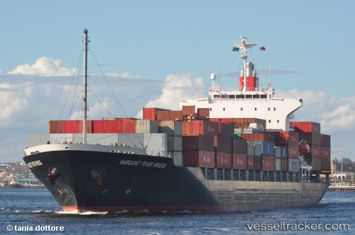
Vessel profile: SMOOTH WIND is a Container Ship with dimensions m x m.
This page combines live AIS, route history, probable destination signals, nearby traffic, and port activity for practical vessel monitoring.
The current position of vessel SMOOTH WIND is 26.53998 lat / 123.58966 lng. Updated: 2026-05-23 14:09:43 UTCNearest reference points:
- 120 nm NE of Nangang
- 97 nm SE of Wenling Longmen Port
- 76 nm NE of Nangang
Currently sailing under the flag of Liberia ![]()
Details:
Live Vessel SMOOTH WIND Analytics (details, animations, etc.)
Recent AIS points (UTC):
2026-05-23 11:45:15 UTC · 26.27425, 122.95275 · SOG 15.8 kn · COG -1°2026-05-23 13:21:13 UTC · 26.44427, 123.38968 · SOG 16 kn · COG 62°
2026-05-23 13:28:48 UTC · 26.45916, 123.42318 · SOG 15 kn · COG 61°
2026-05-23 14:09:43 UTC · 26.53998, 123.58966 · SOG 14 kn · COG 62°