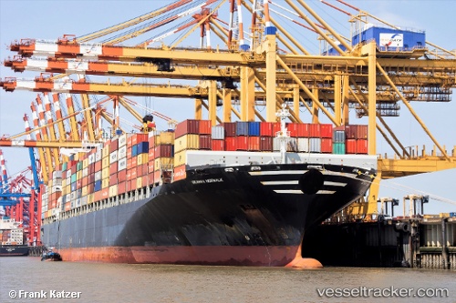
 NORWALK
Current Status
Where is the vessel?
NORWALK is currently in 301 nm S of Tsiombe, based on AIS data received about 14h ago.
Latest AIS update:
Current position: 30.05029° S, 43.65102° E (301 nm S of Tsiombe)
Average speed (last 7 days): Loading…
Average speed (last 30 days): Loading…
Vessel profile: NORWALK is a Container Ship with dimensions m x m.
This page combines live AIS, route history, probable destination signals, nearby traffic, and port activity for practical vessel monitoring.
The current position of vessel NORWALK is -30.05029 lat / 43.65102 lng. Updated: 2026-05-23 14:03:32 UTCNearest reference points:
- Open sea, approx. 401 nm off the nearest listed port
- Open sea, approx. 403 nm off the nearest listed port
- Open sea, approx. 405 nm off the nearest listed port
Currently sailing under the flag of Liberia ![]()
Details:
Live Vessel NORWALK Analytics (details, animations, etc.)
Recent AIS points (UTC):
2026-05-23 10:30:56 UTC · -30.42129, 42.82430 · SOG 12.5 kn · COG 62°2026-05-23 11:24:02 UTC · -30.33005, 43.02389 · SOG 13.7 kn · COG 62°
2026-05-23 13:59:00 UTC · -30.05839, 43.63319 · SOG 13.9 kn · COG 62°
2026-05-23 14:03:32 UTC · -30.05029, 43.65102 · SOG 14 kn · COG 62°