 MIKATI
Current Status
Where is the vessel?
MIKATI is currently in 17 nm N of Zingst, based on AIS data received about 14h ago.
Latest AIS update:
Current position: 54.70549° N, 12.55616° E (17 nm N of Zingst)
Average speed (last 7 days): Loading…
Average speed (last 30 days): Loading…
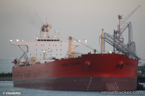
Vessel profile: MIKATI is a Crude Oil Tanker with dimensions 247m x 42m.
This page combines live AIS, route history, probable destination signals, nearby traffic, and port activity for practical vessel monitoring.
The current position of vessel MIKATI is 54.70549 lat / 12.55616 lng. Updated: 2026-05-23 13:18:33 UTCNearest reference points:
- Near Pruchten
- 10 nm NW of Graal-Müritz
- Near Rødvig Havn
Currently sailing under the flag of Sierra Leone ![]()
MIKATI built in 2003 year
Deadweight:
107092 tDetails:
Live Vessel MIKATI Analytics (details, animations, etc.)
Recent AIS points (UTC):
2026-05-23 10:19:25 UTC · 54.90070, 13.22701 · SOG 11.8 kn · COG 246°2026-05-23 10:19:25 UTC · 54.90070, 13.22701 · SOG 11.8 kn · COG 246°
2026-05-23 12:22:54 UTC · 54.78120, 12.75006 · SOG 8.9 kn · COG 241°
2026-05-23 13:18:33 UTC · 54.70549, 12.55616 · SOG 8.8 kn · COG 237°