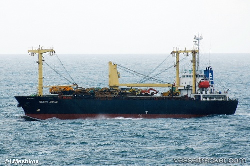
 AMBER M
Current Status
Where is the vessel?
AMBER M is currently in 59 nm E of Marsa Alam, based on AIS data received about 14h ago.
Latest AIS update:
Current position: 25.44312° N, 35.64266° E (59 nm E of Marsa Alam)
Average speed (last 7 days): Loading…
Average speed (last 30 days): Loading…
Vessel profile: AMBER M is a General Cargo with dimensions m x m.
This page combines live AIS, route history, probable destination signals, nearby traffic, and port activity for practical vessel monitoring.
The current position of vessel AMBER M is 25.44312 lat / 35.64266 lng. Updated: 2026-05-23 13:25:16 UTCNearest reference points:
- 41 nm NW of Umm Lajj
- 35 nm S of Umm Lajj
- Near Bur Safaga
Currently sailing under the flag of Sao Tome and Principe ![]()
Details:
Live Vessel AMBER M Analytics (details, animations, etc.)
Recent AIS points (UTC):
2026-05-23 09:32:04 UTC · 25.02180, 35.94496 · SOG 7.6 kn · COG -1°2026-05-23 10:13:04 UTC · 25.09201, 35.89281 · SOG 7.5 kn · COG -1°
2026-05-23 11:39:24 UTC · 25.24314, 35.78383 · SOG 7.3 kn · COG -1°
2026-05-23 13:25:16 UTC · 25.44312, 35.64266 · SOG 8.1 kn · COG -1°