 RIMAR
RIMAR
Current Status
Where is the vessel?
RIMAR is currently in 21 nm S of Kastellorizou (ex Megísti), based on AIS data received about 1d ago.
Latest AIS update:
Current position: 35.81762° N, 29.70962° E (21 nm S of Kastellorizou (ex Megísti))
Average speed (last 7 days): Loading…
Average speed (last 30 days): Loading…
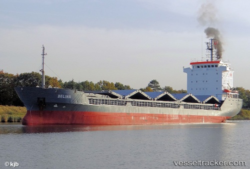
Vessel profile: RIMAR is a General Cargo with dimensions m x m.
This page combines live AIS, route history, probable destination signals, nearby traffic, and port activity for practical vessel monitoring.
The current position of vessel RIMAR is 35.81762 lat / 29.70962 lng. Updated: 2026-05-23 08:51:52 UTCNearest reference points:
- Near KAS
- Near Finike
- Near Fethiye
Currently sailing under the flag of Guinea ![]()
Details:
Live Vessel RIMAR Analytics (details, animations, etc.)
Recent AIS points (UTC):
2026-05-23 08:51:52 UTC · 35.81762, 29.70962 · SOG 7.1 kn · COG 126°2026-05-23 08:51:52 UTC · 35.81762, 29.70962 · SOG 7.1 kn · COG 126°
2026-05-23 08:51:52 UTC · 35.81762, 29.70962 · SOG 7.1 kn · COG 126°
2026-05-23 08:51:52 UTC · 35.81762, 29.70962 · SOG 7.1 kn · COG 126°