 DENIZ ID
Current Status
Where is the vessel?
DENIZ ID is currently in 21 nm W of Mangalore, based on AIS data received about 14h ago.
Latest AIS update:
Current position: 12.99167° N, 74.45167° E (21 nm W of Mangalore)
Average speed (last 7 days): Loading…
Average speed (last 30 days): Loading…
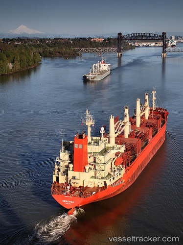
Vessel profile: DENIZ ID is a Bulk Carrier with dimensions m x m.
This page combines live AIS, route history, probable destination signals, nearby traffic, and port activity for practical vessel monitoring.
The current position of vessel DENIZ ID is 12.99167 lat / 74.45167 lng. Updated: 2026-05-23 17:49:53 UTCNearest reference points:
- 17 nm NW of Panamburu
- Near Mangalore
- Near PANAMBUR
Currently sailing under the flag of Saint Kitts and Nevis ![]()
Details:
Live Vessel DENIZ ID Analytics (details, animations, etc.)
Recent AIS points (UTC):
2026-05-23 13:25:57 UTC · 12.99167, 74.45167 · SOG 0 kn · COG -1°2026-05-23 13:34:55 UTC · 12.99167, 74.45167 · SOG 0 kn · COG -1°
2026-05-23 16:19:55 UTC · 12.99167, 74.45167 · SOG 0 kn · COG -1°
2026-05-23 17:49:53 UTC · 12.99167, 74.45167 · SOG 0 kn · COG -1°