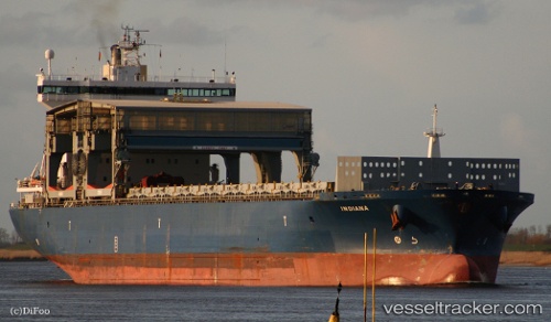
 INDIANA
Current Status
Where is the vessel?
INDIANA is currently in 195 nm N of Saint George, based on AIS data received about 14h ago.
Latest AIS update:
Current position: 35.61610° N, 65.11187° W (195 nm N of Saint George)
Average speed (last 7 days): Loading…
Average speed (last 30 days): Loading…
Vessel profile: INDIANA is a General Cargo Ship with dimensions 30m x 197m.
This page combines live AIS, route history, probable destination signals, nearby traffic, and port activity for practical vessel monitoring.
The current position of vessel INDIANA is 35.61610 lat / -65.11187 lng. Updated: 2026-05-24 09:39:04 UTCNearest reference points:
- 273 nm SE of NANTUCKET
Currently sailing under the flag of Norway (NIS) ![]()
INDIANA built in 2000 year
Deadweight:
44982 tDetails:
Live Vessel INDIANA Analytics (details, animations, etc.)
Recent AIS points (UTC):
2026-05-24 04:58:03 UTC · 35.81476, -63.95128 · SOG 12.5 kn · COG 264°2026-05-24 07:31:50 UTC · 35.70535, -64.59249 · SOG 12.2 kn · COG 259°
2026-05-24 07:49:23 UTC · 35.69401, -64.66457 · SOG 12.3 kn · COG 260°
2026-05-24 09:39:04 UTC · 35.61610, -65.11187 · SOG 12.2 kn · COG 256°