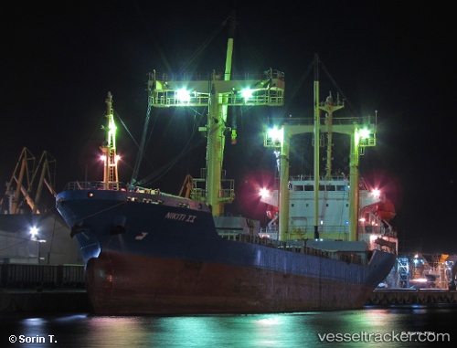
 NIKITI II
Current Status
Where is the vessel?
NIKITI II is currently in Near Larnaca, based on AIS data received about 15h ago.
Latest AIS update:
Current position: 34.92855° N, 33.64339° E (Near Larnaca)
Average speed (last 7 days): Loading…
Average speed (last 30 days): Loading…
Vessel profile: NIKITI II is a General Cargo with dimensions m x m.
This page combines live AIS, route history, probable destination signals, nearby traffic, and port activity for practical vessel monitoring.
The current position of vessel NIKITI II is 34.92855 lat / 33.64339 lng. Updated: 2026-05-24 07:59:25 UTCNearest reference points:
- Near Larnaca
- 17 nm S of Vasilikos
- Near Limassol
Currently sailing under the flag of Barbados ![]()
Details:
Live Vessel NIKITI II Analytics (details, animations, etc.)
Recent AIS points (UTC):
2026-05-24 04:29:22 UTC · 34.92858, 33.64341 · SOG 0 kn · COG 285°2026-05-24 05:53:21 UTC · 34.92859, 33.64340 · SOG 0 kn · COG 285°
2026-05-24 07:23:20 UTC · 34.92858, 33.64338 · SOG 0 kn · COG 286°
2026-05-24 07:59:25 UTC · 34.92855, 33.64339 · SOG 0 kn · COG 284°