 JAL KISAN
Current Status
Where is the vessel?
JAL KISAN is currently in 72 nm SW of Gialtra, based on AIS data received about 14h ago.
Latest AIS update:
Current position: 22.44965° N, 37.64371° E (72 nm SW of Gialtra)
Average speed (last 7 days): Loading…
Average speed (last 30 days): Loading…
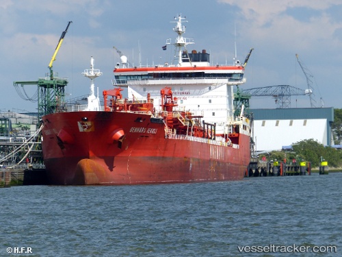
Vessel profile: JAL KISAN is a Chemical Tanker with dimensions m x m.
This page combines live AIS, route history, probable destination signals, nearby traffic, and port activity for practical vessel monitoring.
The current position of vessel JAL KISAN is 22.44965 lat / 37.64371 lng. Updated: 2026-05-23 15:27:53 UTCNearest reference points:
- 65 nm SW of King Abdullah City
- 95 nm SW of Al Muajjiz
- 67 nm W of Tusdeer Free Zone
Currently sailing under the flag of Liberia ![]()
Details:
Live Vessel JAL KISAN Analytics (details, animations, etc.)
Recent AIS points (UTC):
2026-05-23 11:39:22 UTC · 21.94188, 37.93870 · SOG 9.1 kn · COG 332°2026-05-23 13:25:12 UTC · 22.17811, 37.80134 · SOG 9 kn · COG 329°
2026-05-23 14:09:04 UTC · 22.27459, 37.74272 · SOG 9 kn · COG 337°
2026-05-23 15:27:53 UTC · 22.44965, 37.64371 · SOG 9.2 kn · COG 336°