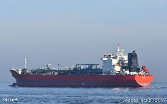
 PRIESTLEY
Current Status
Where is the vessel?
PRIESTLEY is currently in Near Küçükçekmece, based on AIS data received about 14h ago.
Latest AIS update:
Current position: 40.96302° N, 28.77639° E (Near Küçükçekmece)
Average speed (last 7 days): Loading…
Average speed (last 30 days): Loading…
Vessel profile: PRIESTLEY is a Lpg Tanker with dimensions m x m.
This page combines live AIS, route history, probable destination signals, nearby traffic, and port activity for practical vessel monitoring.
The current position of vessel PRIESTLEY is 40.96302 lat / 28.77639 lng. Updated: 2026-05-23 13:24:15 UTCNearest reference points:
- Near Kumport
- Near Küçükçekmece
- Near Ambarli
Currently sailing under the flag of Liberia ![]()
Details:
Live Vessel PRIESTLEY Analytics (details, animations, etc.)
Recent AIS points (UTC):
2026-05-23 09:32:25 UTC · 40.96268, 28.77570 · SOG 0 kn · COG 339°2026-05-23 10:13:11 UTC · 40.96285, 28.77599 · SOG 0 kn · COG 330°
2026-05-23 11:38:28 UTC · 40.96280, 28.77628 · SOG 0.1 kn · COG 321°
2026-05-23 13:24:15 UTC · 40.96302, 28.77639 · SOG 0 kn · COG 315°