 AN LI
AN LI
Current Status
Where is the vessel?
AN LI is currently in 31 nm W of Uglegorsk, based on AIS data received about 16h ago.
Latest AIS update:
Current position: 49.02265° N, 141.23108° E (31 nm W of Uglegorsk)
Average speed (last 7 days): Loading…
Average speed (last 30 days): Loading…
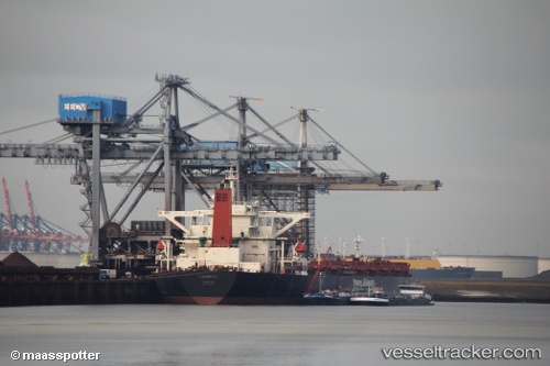
Vessel profile: AN LI is a Bulk Carrier with dimensions m x m.
This page combines live AIS, route history, probable destination signals, nearby traffic, and port activity for practical vessel monitoring.
The current position of vessel AN LI is 49.02265 lat / 141.23108 lng. Updated: 2026-05-23 08:50:31 UTCNearest reference points:
- Near Uglegorsk
- 38 nm SE of Sovetskaya Gavan
- 45 nm S of Sovetskaya Gavan
Currently sailing under the flag of Liberia ![]()
Details:
Live Vessel AN LI Analytics (details, animations, etc.)
Recent AIS points (UTC):
2026-05-23 06:58:31 UTC · 48.99323, 141.15378 · SOG 1.9 kn · COG 115°2026-05-23 08:15:44 UTC · 49.01414, 141.20650 · SOG 1.9 kn · COG 113°
2026-05-23 08:50:31 UTC · 49.02265, 141.23108 · SOG 1.8 kn · COG 116°
2026-05-23 08:50:31 UTC · 49.02265, 141.23108 · SOG 1.8 kn · COG 116°