 CAPE KORI
Current Status
Where is the vessel?
CAPE KORI is currently in 60 nm E of Dung Quat Petroleum Port, based on AIS data received about 15h ago.
Latest AIS update:
Current position: 15.69333° N, 109.82833° E (60 nm E of Dung Quat Petroleum Port)
Average speed (last 7 days): Loading…
Average speed (last 30 days): Loading…
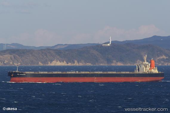
Vessel profile: CAPE KORI is a Bulk Carrier with dimensions 300m x 300m.
This page combines live AIS, route history, probable destination signals, nearby traffic, and port activity for practical vessel monitoring.
The current position of vessel CAPE KORI is 15.69333 lat / 109.82833 lng. Updated: 2026-05-23 16:11:00 UTCNearest reference points:
- Near DUNG QUAT
- 17 nm NE of Bong Son
- Near Thuan An
Currently sailing under the flag of Liberia ![]()
CAPE KORI built in 2004 year
Deadweight:
203277 tDetails:
Live Vessel CAPE KORI Analytics (details, animations, etc.)
Recent AIS points (UTC):
2026-05-23 12:18:11 UTC · 15.05937, 110.08149 · SOG 11.1 kn · COG 355°2026-05-23 13:14:19 UTC · 15.21519, 110.01627 · SOG 10.6 kn · COG -1°
2026-05-23 13:14:19 UTC · 15.21519, 110.01627 · SOG 10.6 kn · COG -1°
2026-05-23 16:11:00 UTC · 15.69333, 109.82833 · SOG 10 kn · COG -1°