 VERA
VERA
Current Status
Where is the vessel?
VERA is currently in 17 nm S of Mawella, based on AIS data received about 14h ago.
Latest AIS update:
Current position: 5.70667° N, 80.78500° E (17 nm S of Mawella)
Average speed (last 7 days): Loading…
Average speed (last 30 days): Loading…
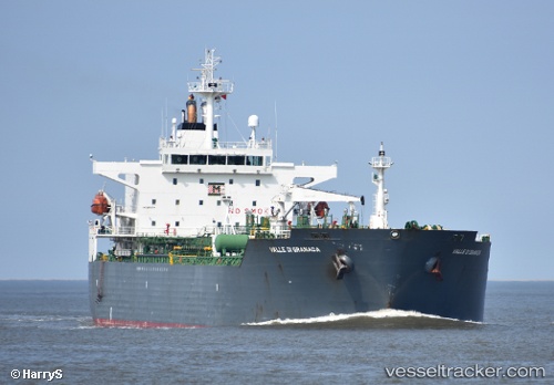
Vessel profile: VERA is a Oil/Chemical Tanker with dimensions m x m.
This page combines live AIS, route history, probable destination signals, nearby traffic, and port activity for practical vessel monitoring.
The current position of vessel VERA is 5.70667 lat / 80.78500 lng. Updated: 2026-05-24 00:16:30 UTCNearest reference points:
- 15 nm S of Koggala
- 28 nm SW of Matara
- Near HAMBANTOTA
Currently sailing under the flag of Panama ![]()
Details:
Live Vessel VERA Analytics (details, animations, etc.)
Recent AIS points (UTC):
2026-05-23 19:37:34 UTC · 5.80167, 79.86167 · SOG 13 kn · COG -1°2026-05-23 21:51:34 UTC · 5.69508, 80.29048 · SOG 12.1 kn · COG 70°
2026-05-23 22:50:44 UTC · 5.72087, 80.48995 · SOG 12.7 kn · COG 90°
2026-05-24 00:16:30 UTC · 5.70667, 80.78500 · SOG 12 kn · COG -1°