 NAVISTAR
Current Status
Where is the vessel?
NAVISTAR is currently in 11 nm SE of Paradip, based on AIS data received about 14h ago.
Latest AIS update:
Current position: 20.10333° N, 86.80833° E (11 nm SE of Paradip)
Average speed (last 7 days): Loading…
Average speed (last 30 days): Loading…
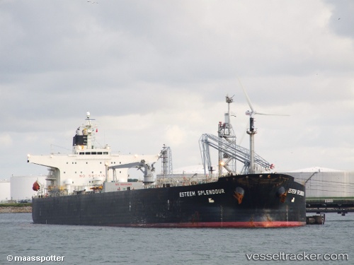
Vessel profile: NAVISTAR is a Crude Oil Tanker with dimensions m x m.
This page combines live AIS, route history, probable destination signals, nearby traffic, and port activity for practical vessel monitoring.
The current position of vessel NAVISTAR is 20.10333 lat / 86.80833 lng. Updated: 2026-05-23 19:57:31 UTCNearest reference points:
- Near Paradip
- Near Paradip Garh
- 45 nm S of Contai
Currently sailing under the flag of Cameroon ![]()
Details:
Live Vessel NAVISTAR Analytics (details, animations, etc.)
Recent AIS points (UTC):
2026-05-23 16:06:28 UTC · 19.91833, 86.96500 · SOG 10 kn · COG -1°2026-05-23 18:18:32 UTC · 20.12954, 86.80956 · SOG 6.2 kn · COG 248°
2026-05-23 19:05:42 UTC · 20.10321, 86.80829 · SOG 0.5 kn · COG 158°
2026-05-23 19:57:31 UTC · 20.10333, 86.80833 · SOG 0 kn · COG -1°