 VULKAN
Current Status
Where is the vessel?
VULKAN is currently in 24 nm E of Kakap Natuna Terminal, based on AIS data received about 14h ago.
Latest AIS update:
Current position: 5.12788° N, 106.32892° E (24 nm E of Kakap Natuna Terminal)
Average speed (last 7 days): Loading…
Average speed (last 30 days): Loading…
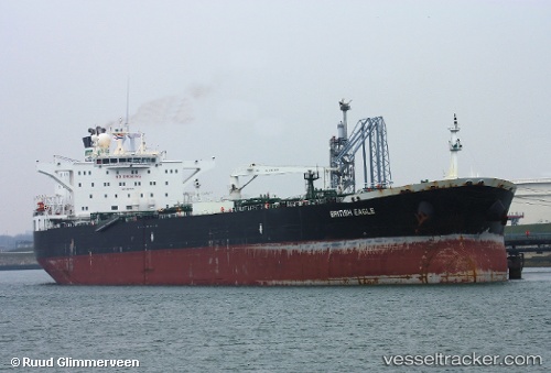
Vessel profile: VULKAN is a Crude Oil Tanker with dimensions m x m.
This page combines live AIS, route history, probable destination signals, nearby traffic, and port activity for practical vessel monitoring.
The current position of vessel VULKAN is 5.12788 lat / 106.32892 lng. Updated: 2026-05-23 20:11:30 UTCNearest reference points:
- 45 nm E of Kakap Natuna Terminal
- 46 nm E of Kakap Natuna Terminal
- 36 nm SW of Slipi
Currently sailing under the flag of Russia ![]()
Details:
Live Vessel VULKAN Analytics (details, animations, etc.)
Recent AIS points (UTC):
2026-05-23 16:11:29 UTC · 5.87806, 106.66839 · SOG 12.4 kn · COG 204°2026-05-23 18:10:40 UTC · 5.50335, 106.50016 · SOG 12.3 kn · COG 203°
2026-05-23 19:05:32 UTC · 5.32833, 106.42833 · SOG 12 kn · COG -1°
2026-05-23 20:11:30 UTC · 5.12788, 106.32892 · SOG 12.2 kn · COG 208°