 HARBOUR ADVENTURE
Current Status
Where is the vessel?
HARBOUR ADVENTURE is currently in 19 nm NW of MIRI, based on AIS data received about 2d ago.
Latest AIS update:
Current position: 4.64068° N, 113.78487° E (19 nm NW of MIRI)
Average speed (last 7 days): Loading…
Average speed (last 30 days): Loading…
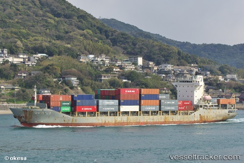
Vessel profile: HARBOUR ADVENTURE is a Container Ship with dimensions m x m.
This page combines live AIS, route history, probable destination signals, nearby traffic, and port activity for practical vessel monitoring.
The current position of vessel HARBOUR ADVENTURE is 4.64068 lat / 113.78487 lng. Updated: 2026-05-21 12:41:12 UTCNearest reference points:
- 11 nm N of MIRI
- Near MIRI
- Near Kikeh
Currently sailing under the flag of Malaysia ![]()
Details:
Live Vessel HARBOUR ADVENTURE Analytics (details, animations, etc.)
Recent AIS points (UTC):
2026-05-21 12:41:12 UTC · 4.64068, 113.78487 · SOG 15 kn · COG -1°2026-05-21 12:41:12 UTC · 4.64068, 113.78487 · SOG 15 kn · COG -1°
2026-05-21 12:41:12 UTC · 4.64068, 113.78487 · SOG 15 kn · COG -1°
2026-05-21 12:41:12 UTC · 4.64068, 113.78487 · SOG 15 kn · COG -1°