 DOLPHIN 79
Current Status
Where is the vessel?
DOLPHIN 79 is currently in 144 nm W of Kommetjie, based on AIS data received about 14h ago.
Latest AIS update:
Current position: 34.46512° S, 15.43597° E (144 nm W of Kommetjie)
Average speed (last 7 days): Loading…
Average speed (last 30 days): Loading…
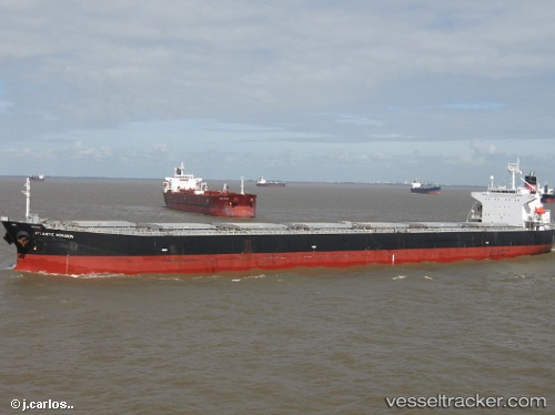
Vessel profile: DOLPHIN 79 is a Bulk Carrier with dimensions m x m.
This page combines live AIS, route history, probable destination signals, nearby traffic, and port activity for practical vessel monitoring.
The current position of vessel DOLPHIN 79 is -34.46512 lat / 15.43597 lng. Updated: 2026-05-23 14:14:54 UTCNearest reference points:
- 116 nm SW of Saldanha Bay
- 111 nm W of Kommetjie
Currently sailing under the flag of Panama ![]()
Details:
Live Vessel DOLPHIN 79 Analytics (details, animations, etc.)
Recent AIS points (UTC):
2026-05-23 10:21:03 UTC · -34.56638, 16.19542 · SOG 9.7 kn · COG 274°2026-05-23 12:18:44 UTC · -34.51467, 15.81112 · SOG 9.8 kn · COG 279°
2026-05-23 13:12:38 UTC · -34.49078, 15.63652 · SOG 9.7 kn · COG 278°
2026-05-23 14:14:54 UTC · -34.46512, 15.43597 · SOG 9.6 kn · COG 278°