 ELBIA
ELBIA
Current Status
Where is the vessel?
ELBIA is currently in Near Bremerhaven, based on AIS data received about 14h ago.
Latest AIS update:
Current position: 53.55215° N, 8.56558° E (Near Bremerhaven)
Average speed (last 7 days): Loading…
Average speed (last 30 days): Loading…
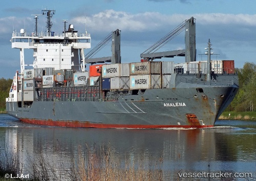
Vessel profile: ELBIA is a Container Ship with dimensions m x m.
This page combines live AIS, route history, probable destination signals, nearby traffic, and port activity for practical vessel monitoring.
The current position of vessel ELBIA is 53.55215 lat / 8.56558 lng. Updated: 2026-05-23 10:20:43 UTCNearest reference points:
- Near Bremerhaven
- Near Sandstedt
- Near Brake
Currently sailing under the flag of Antigua and Barbuda ![]()
Details:
Live Vessel ELBIA Analytics (details, animations, etc.)
Recent AIS points (UTC):
2026-05-23 07:41:43 UTC · 53.55213, 8.56559 · SOG 0 kn · COG 331°2026-05-23 07:59:44 UTC · 53.55212, 8.56561 · SOG 0 kn · COG 331°
2026-05-23 10:20:43 UTC · 53.55215, 8.56558 · SOG 0 kn · COG 331°
2026-05-23 10:20:43 UTC · 53.55215, 8.56558 · SOG 0 kn · COG 331°