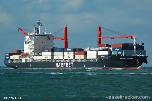
 MARFRET GUYANE
Current Status
Where is the vessel?
MARFRET GUYANE is currently in 62 nm NE of ROATAN, based on AIS data received about 14h ago.
Latest AIS update:
Current position: 16.82657° N, 85.56428° W (62 nm NE of ROATAN)
Average speed (last 7 days): Loading…
Average speed (last 30 days): Loading…
Vessel profile: MARFRET GUYANE is a Container Ship with dimensions m x m.
This page combines live AIS, route history, probable destination signals, nearby traffic, and port activity for practical vessel monitoring.
The current position of vessel MARFRET GUYANE is 16.82657 lat / -85.56428 lng. Updated: 2026-05-23 23:11:37 UTCNearest reference points:
- 26 nm SE of Dangriga
- 14 nm SE of Belize
Details:
Live Vessel MARFRET GUYANE Analytics (details, animations, etc.)
Recent AIS points (UTC):
2026-05-23 19:43:31 UTC · 16.95633, -84.78750 · SOG 13.2 kn · COG 259°2026-05-23 19:43:31 UTC · 16.95633, -84.78750 · SOG 13.2 kn · COG 259°
2026-05-23 22:17:12 UTC · 16.86267, -85.36567 · SOG 12.9 kn · COG 251°
2026-05-23 23:11:37 UTC · 16.82657, -85.56428 · SOG 12.8 kn · COG 263°