 SEAWAYS SPIRIT
Current Status
Where is the vessel?
SEAWAYS SPIRIT is currently in Near ONSAN, based on AIS data received about 15h ago.
Latest AIS update:
Current position: 35.43456° N, 129.41501° E (Near ONSAN)
Average speed (last 7 days): Loading…
Average speed (last 30 days): Loading…
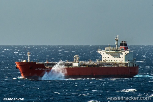
Vessel profile: SEAWAYS SPIRIT is a Oil/Chemical Tanker with dimensions m x m.
This page combines live AIS, route history, probable destination signals, nearby traffic, and port activity for practical vessel monitoring.
The current position of vessel SEAWAYS SPIRIT is 35.43456 lat / 129.41501 lng. Updated: 2026-05-24 05:47:37 UTCNearest reference points:
- Near Ulsan
- Near ONSAN
- Near Ilsan
Currently sailing under the flag of Marshall Islands ![]()
Details:
Live Vessel SEAWAYS SPIRIT Analytics (details, animations, etc.)
Recent AIS points (UTC):
2026-05-24 01:48:46 UTC · 35.13667, 129.48257 · SOG 10.2 kn · COG 54°2026-05-24 03:24:56 UTC · 35.29177, 129.54729 · SOG 9.9 kn · COG 316°
2026-05-24 04:39:08 UTC · 35.42948, 129.41496 · SOG 2.9 kn · COG 40°
2026-05-24 05:47:37 UTC · 35.43456, 129.41501 · SOG 0 kn · COG 77°