 GREEN WAY
Current Status
Where is the vessel?
GREEN WAY is currently in Near Binh Thanh, based on AIS data received about 14h ago.
Latest AIS update:
Current position: 10.75333° N, 106.74792° E (Near Binh Thanh)
Average speed (last 7 days): Loading…
Average speed (last 30 days): Loading…
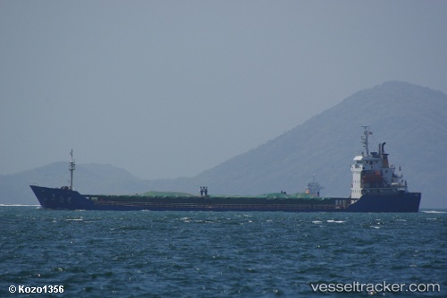
Vessel profile: GREEN WAY is a General Cargo with dimensions m x m.
This page combines live AIS, route history, probable destination signals, nearby traffic, and port activity for practical vessel monitoring.
The current position of vessel GREEN WAY is 10.75333 lat / 106.74792 lng. Updated: 2026-05-24 08:06:00 UTCNearest reference points:
- Near Cat Lai Oil Port
- Near Nha Be
- Near Saigon Petro Oil Terminal
Currently sailing under the flag of Saint Kitts and Nevis ![]()
Details:
Live Vessel GREEN WAY Analytics (details, animations, etc.)
Recent AIS points (UTC):
2026-05-24 04:36:44 UTC · 10.75334, 106.74792 · SOG 0.1 kn · COG 222°2026-05-24 06:27:21 UTC · 10.75339, 106.74786 · SOG 0 kn · COG 224°
2026-05-24 07:39:06 UTC · 10.75337, 106.74789 · SOG 0.1 kn · COG 221°
2026-05-24 08:06:00 UTC · 10.75333, 106.74792 · SOG 0 kn · COG 218°