 MJ PINAR
Current Status
Where is the vessel?
MJ PINAR is currently in 50 nm SW of Okha, based on AIS data received about 14h ago.
Latest AIS update:
Current position: 22.01333° N, 68.34667° E (50 nm SW of Okha)
Average speed (last 7 days): Loading…
Average speed (last 30 days): Loading…
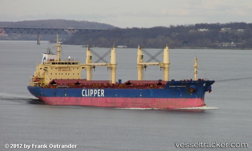
Vessel profile: MJ PINAR is a Bulk Carrier with dimensions m x m.
This page combines live AIS, route history, probable destination signals, nearby traffic, and port activity for practical vessel monitoring.
The current position of vessel MJ PINAR is 22.01333 lat / 68.34667 lng. Updated: 2026-05-24 04:01:33 UTCNearest reference points:
- 49 nm S of Positra
- 54 nm S of Positra
- 13 nm W of Måndvi
Currently sailing under the flag of Barbados ![]()
Details:
Live Vessel MJ PINAR Analytics (details, animations, etc.)
Recent AIS points (UTC):
2026-05-23 23:28:51 UTC · 21.97308, 68.28982 · SOG 0.6 kn · COG -1°2026-05-24 01:06:26 UTC · 21.98952, 68.31025 · SOG 2.2 kn · COG -1°
2026-05-24 01:40:09 UTC · 21.99500, 68.31779 · SOG 2.5 kn · COG -1°
2026-05-24 04:01:33 UTC · 22.01333, 68.34667 · SOG 0 kn · COG -1°