 GOTLAND
Current Status
Where is the vessel?
GOTLAND is currently in 21 nm SE of Karlskrona, based on AIS data received about 15h ago.
Latest AIS update:
Current position: 55.86906° N, 15.94282° E (21 nm SE of Karlskrona)
Average speed (last 7 days): Loading…
Average speed (last 30 days): Loading…
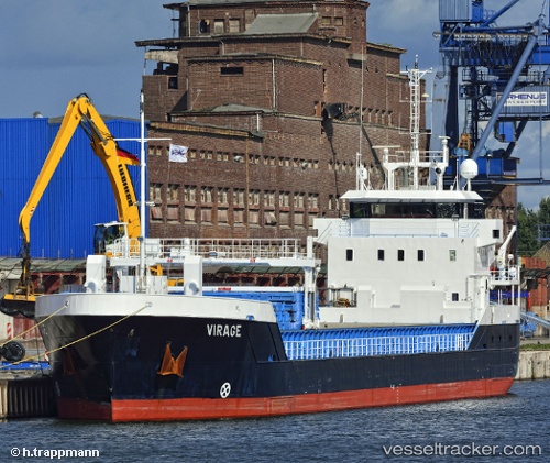
Vessel profile: GOTLAND is a General Cargo with dimensions m x m.
This page combines live AIS, route history, probable destination signals, nearby traffic, and port activity for practical vessel monitoring.
The current position of vessel GOTLAND is 55.86906 lat / 15.94282 lng. Updated: 2026-05-24 07:43:25 UTCNearest reference points:
- Near Karlskrona
- Near RONNEBY
- 31 nm NW of Ustka
Currently sailing under the flag of Germany ![]()
Details:
Live Vessel GOTLAND Analytics (details, animations, etc.)
Recent AIS points (UTC):
2026-05-24 04:25:26 UTC · 56.09629, 16.62269 · SOG 8.1 kn · COG 240°2026-05-24 05:39:05 UTC · 56.01041, 16.36790 · SOG 8.1 kn · COG 240°
2026-05-24 07:21:25 UTC · 55.89250, 16.02077 · SOG 8.1 kn · COG 242°
2026-05-24 07:43:25 UTC · 55.86906, 15.94282 · SOG 8.1 kn · COG 242°