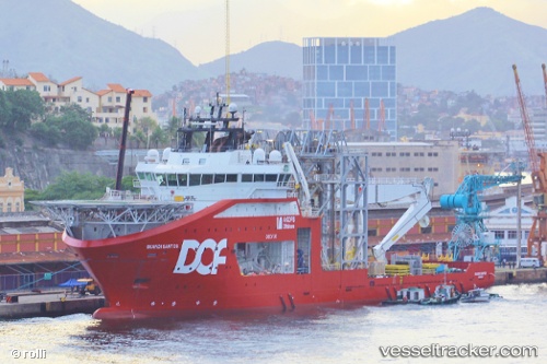
 AKOFS SANTOS
Current Status
Where is the vessel?
AKOFS SANTOS is currently in 74 nm SE of Arraial do Cabo, based on AIS data received about 15h ago.
Latest AIS update:
Current position: 23.89084° S, 41.13571° W (74 nm SE of Arraial do Cabo)
Average speed (last 7 days): Loading…
Average speed (last 30 days): Loading…
Vessel profile: AKOFS SANTOS is a Offshore Supply Ship with dimensions m x m.
This page combines live AIS, route history, probable destination signals, nearby traffic, and port activity for practical vessel monitoring.
The current position of vessel AKOFS SANTOS is -23.89084 lat / -41.13571 lng. Updated: 2026-05-24 08:16:11 UTCNearest reference points:
- 47 nm E of Arraial do Cabo
- 69 nm NE of Cidade de Angra dos Reis FPSO
- Near Fluminense FPSO
Details:
Live Vessel AKOFS SANTOS Analytics (details, animations, etc.)
Recent AIS points (UTC):
2026-05-24 04:12:32 UTC · -23.32655, -40.66566 · SOG 10.2 kn · COG 212°2026-05-24 05:50:47 UTC · -23.57940, -40.83745 · SOG 11.2 kn · COG -1°
2026-05-24 07:57:31 UTC · -23.85309, -41.09625 · SOG 10 kn · COG 225°
2026-05-24 08:16:11 UTC · -23.89084, -41.13571 · SOG 10.2 kn · COG 223°