 SAEHAN KOSTAR
Current Status
Where is the vessel?
SAEHAN KOSTAR is currently in 309 nm SE of Masirah, based on AIS data received about 15h ago.
Latest AIS update:
Current position: 18.08539° N, 63.68709° E (309 nm SE of Masirah)
Average speed (last 7 days): Loading…
Average speed (last 30 days): Loading…
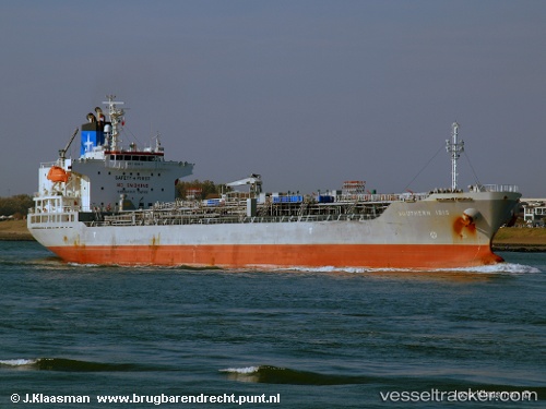
Vessel profile: SAEHAN KOSTAR is a Oil/Chemical Tanker with dimensions m x m.
This page combines live AIS, route history, probable destination signals, nearby traffic, and port activity for practical vessel monitoring.
The current position of vessel SAEHAN KOSTAR is 18.08539 lat / 63.68709 lng. Updated: 2026-05-23 12:10:24 UTCNearest reference points:
- Open sea, approx. 402 nm off the nearest listed port
- Open sea, approx. 401 nm off the nearest listed port
- Open sea, approx. 403 nm off the nearest listed port
Currently sailing under the flag of South Korea ![]()
Details:
Live Vessel SAEHAN KOSTAR Analytics (details, animations, etc.)
Recent AIS points (UTC):
2026-05-23 00:36:56 UTC · 17.74170, 61.27224 · SOG 11.9 kn · COG 80°2026-05-23 00:36:56 UTC · 17.74170, 61.27224 · SOG 11.9 kn · COG 80°
2026-05-23 12:10:24 UTC · 18.08539, 63.68709 · SOG 12.2 kn · COG 79°
2026-05-23 12:10:24 UTC · 18.08539, 63.68709 · SOG 12.2 kn · COG 79°