 HAGRID
Current Status
Where is the vessel?
HAGRID is currently in 28 nm S of Carchuna, based on AIS data received about 14h ago.
Latest AIS update:
Current position: 36.25769° N, 3.58569° W (28 nm S of Carchuna)
Average speed (last 7 days): Loading…
Average speed (last 30 days): Loading…
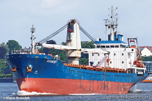
Vessel profile: HAGRID is a General Cargo with dimensions m x m.
This page combines live AIS, route history, probable destination signals, nearby traffic, and port activity for practical vessel monitoring.
The current position of vessel HAGRID is 36.25769 lat / -3.58569 lng. Updated: 2026-05-23 19:18:41 UTCNearest reference points:
- 23 nm S of Carchuna
- 29 nm S of Carchuna
- Near MOTRIL
Currently sailing under the flag of Barbados ![]()
Details:
Live Vessel HAGRID Analytics (details, animations, etc.)
Recent AIS points (UTC):
2026-05-23 16:17:42 UTC · 36.33642, -2.95765 · SOG 10.3 kn · COG 253°2026-05-23 16:25:46 UTC · 36.33327, -2.98597 · SOG 10.2 kn · COG 253°
2026-05-23 17:19:15 UTC · 36.30500, -3.16833 · SOG 10 kn · COG -1°
2026-05-23 19:18:41 UTC · 36.25769, -3.58569 · SOG 10.4 kn · COG 252°