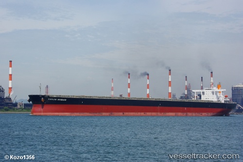
Hl Imabari
Current StatusWhere is the vessel?
Hl Imabari is currently in 42 nm SE of Port de Boké, based on AIS data received about 14h ago.
Latest AIS update:
Current position: 9.94041° N, 14.31022° W (42 nm SE of Port de Boké)
Average speed (last 7 days): Loading…
Average speed (last 30 days): Loading…
Vessel profile: Hl Imabari is a Ore Carrier with dimensions 50m x 299m.
This page combines live AIS, route history, probable destination signals, nearby traffic, and port activity for practical vessel monitoring.
The current position of vessel Hl Imabari is 9.94041 lat / -14.31022 lng. Updated: 2026-05-23 22:12:31 UTCNearest reference points:
- 49 nm S of Port de Boké
- 14 nm S of Port de Boké
- Near Port de Boké
Details:
Live Vessel Hl Imabari Analytics (details, animations, etc.)
Recent AIS points (UTC):
2026-05-23 19:03:33 UTC · 9.93718, -14.31257 · SOG 0 kn · COG 89°2026-05-23 19:03:33 UTC · 9.93718, -14.31257 · SOG 0 kn · COG 89°
2026-05-23 22:12:31 UTC · 9.94041, -14.31022 · SOG 0 kn · COG 184°
2026-05-23 22:12:31 UTC · 9.94041, -14.31022 · SOG 0 kn · COG 184°