 BLUE SPIRIT
Current Status
Where is the vessel?
BLUE SPIRIT is currently in 221 nm SE of Yanam, based on AIS data received about 17h ago.
Latest AIS update:
Current position: 14.19387° N, 84.98288° E (221 nm SE of Yanam)
Average speed (last 7 days): Loading…
Average speed (last 30 days): Loading…
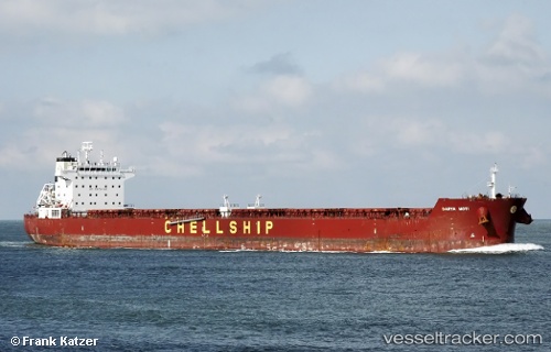
Vessel profile: BLUE SPIRIT is a Bulk Carrier with dimensions m x m.
This page combines live AIS, route history, probable destination signals, nearby traffic, and port activity for practical vessel monitoring.
The current position of vessel BLUE SPIRIT is 14.19387 lat / 84.98288 lng. Updated: 2026-05-24 03:49:06 UTCCurrently sailing under the flag of Marshall Islands ![]()
Details:
Live Vessel BLUE SPIRIT Analytics (details, animations, etc.)
Recent AIS points (UTC):
2026-05-24 03:49:06 UTC · 14.19387, 84.98288 · SOG 12.2 kn · COG -1°2026-05-24 03:49:06 UTC · 14.19387, 84.98288 · SOG 12.2 kn · COG -1°
2026-05-24 03:49:06 UTC · 14.19387, 84.98288 · SOG 12.2 kn · COG -1°
2026-05-24 03:49:06 UTC · 14.19387, 84.98288 · SOG 12.2 kn · COG -1°