 MORNING CECILIE
Current Status
Where is the vessel?
MORNING CECILIE is currently in Open sea, approx. 415 nm off the nearest listed port, based on AIS data received about 14h ago.
Latest AIS update:
Current position: 2.22270° S, 10.44900° W (Open sea, approx. 415 nm off the nearest listed port)
Average speed (last 7 days): Loading…
Average speed (last 30 days): Loading…
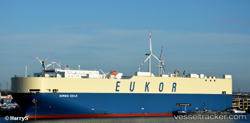
Vessel profile: MORNING CECILIE is a Vehicles Carrier with dimensions m x m.
This page combines live AIS, route history, probable destination signals, nearby traffic, and port activity for practical vessel monitoring.
The current position of vessel MORNING CECILIE is -2.22270 lat / -10.44900 lng. Updated: 2026-05-23 11:14:34 UTCNearest reference points:
- Open sea, approx. 415 nm off the nearest listed port
- Open sea, approx. 417 nm off the nearest listed port
- Open sea, approx. 418 nm off the nearest listed port
Currently sailing under the flag of South Korea ![]()
Details:
Live Vessel MORNING CECILIE Analytics (details, animations, etc.)
Recent AIS points (UTC):
2026-05-23 07:51:31 UTC · -3.00227, -9.81358 · SOG 17.3 kn · COG 325°2026-05-23 07:57:34 UTC · -2.97908, -9.83215 · SOG 17.6 kn · COG 325°
2026-05-23 09:44:30 UTC · -2.56962, -10.16695 · SOG 17.8 kn · COG 323°
2026-05-23 11:14:34 UTC · -2.22270, -10.44900 · SOG 17.9 kn · COG 324°