 WHITPROGRESS
Current Status
Where is the vessel?
WHITPROGRESS is currently in Near Sangatte, based on AIS data received about 15h ago.
Latest AIS update:
Current position: 50.99983° N, 1.75467° E (Near Sangatte)
Average speed (last 7 days): Loading…
Average speed (last 30 days): Loading…
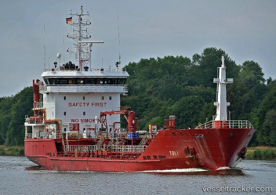
Vessel profile: WHITPROGRESS is a Oil/Chemical Tanker with dimensions m x m.
This page combines live AIS, route history, probable destination signals, nearby traffic, and port activity for practical vessel monitoring.
The current position of vessel WHITPROGRESS is 50.99983 lat / 1.75467 lng. Updated: 2026-05-24 07:42:32 UTCNearest reference points:
- Near Sangatte
- Near Calais
- 14 nm SE of RAMSGATE
Currently sailing under the flag of United Kingdom ![]()
Details:
Live Vessel WHITPROGRESS Analytics (details, animations, etc.)
Recent AIS points (UTC):
2026-05-24 04:25:23 UTC · 51.28685, 1.85998 · SOG 9.5 kn · COG 211°2026-05-24 05:38:43 UTC · 51.14540, 1.66268 · SOG 8.6 kn · COG 223°
2026-05-24 07:18:33 UTC · 50.99952, 1.75444 · SOG 1.1 kn · COG 197°
2026-05-24 07:42:32 UTC · 50.99983, 1.75467 · SOG 0.1 kn · COG 266°