 MACHITIS
Current Status
Where is the vessel?
MACHITIS is currently in 46 nm E of Xiangyu Terminal/ Xiamen, based on AIS data received about 14h ago.
Latest AIS update:
Current position: 26.86833° N, 121.13667° E (46 nm E of Xiangyu Terminal/ Xiamen)
Average speed (last 7 days): Loading…
Average speed (last 30 days): Loading…
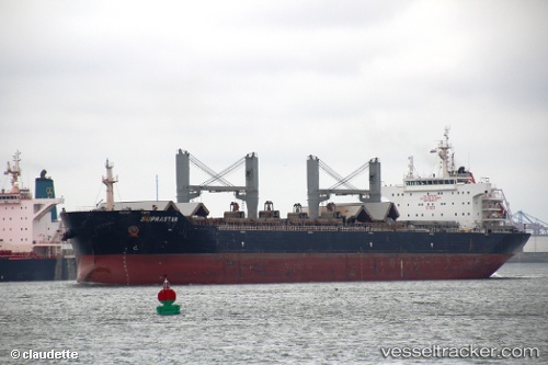
Vessel profile: MACHITIS is a Bulk Carrier with dimensions m x m.
This page combines live AIS, route history, probable destination signals, nearby traffic, and port activity for practical vessel monitoring.
The current position of vessel MACHITIS is 26.86833 lat / 121.13667 lng. Updated: 2026-05-24 03:18:26 UTCNearest reference points:
- 41 nm E of Xiangyu Terminal/ Xiamen
- 43 nm E of Sansha
- 66 nm SE of Sansha
Currently sailing under the flag of Bahamas ![]()
Details:
Live Vessel MACHITIS Analytics (details, animations, etc.)
Recent AIS points (UTC):
2026-05-23 23:52:50 UTC · 27.38678, 121.53226 · SOG 10 kn · COG 217°2026-05-24 01:09:29 UTC · 27.20167, 121.37667 · SOG 11 kn · COG -1°
2026-05-24 01:33:28 UTC · 27.13833, 121.33167 · SOG 11 kn · COG -1°
2026-05-24 03:18:26 UTC · 26.86833, 121.13667 · SOG 11 kn · COG -1°