 SAFI FORTUNE
Current Status
Where is the vessel?
SAFI FORTUNE is currently in 19 nm SW of Nisiros, based on AIS data received about 15h ago.
Latest AIS update:
Current position: 36.43619° N, 26.80437° E (19 nm SW of Nisiros)
Average speed (last 7 days): Loading…
Average speed (last 30 days): Loading…
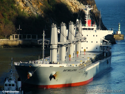
Vessel profile: SAFI FORTUNE is a Bulk Carrier with dimensions m x m.
This page combines live AIS, route history, probable destination signals, nearby traffic, and port activity for practical vessel monitoring.
The current position of vessel SAFI FORTUNE is 36.43619 lat / 26.80437 lng. Updated: 2026-05-23 10:13:58 UTCNearest reference points:
- 20 nm S of Astypálaia
- Near KALYMNOS
- 11 nm E of GYALI
Currently sailing under the flag of Marshall Islands ![]()
Details:
Live Vessel SAFI FORTUNE Analytics (details, animations, etc.)
Recent AIS points (UTC):
2026-05-23 07:31:47 UTC · 36.11480, 27.37915 · SOG 12.2 kn · COG 305°2026-05-23 07:44:58 UTC · 36.14017, 27.33382 · SOG 12.2 kn · COG 303°
2026-05-23 09:35:17 UTC · 36.35801, 26.94013 · SOG 12.8 kn · COG 304°
2026-05-23 10:13:58 UTC · 36.43619, 26.80437 · SOG 12.3 kn · COG 310°