 SKOMER ISLAND
Current Status
Where is the vessel?
SKOMER ISLAND is currently in 219 nm NE of Puerto Baquerizo Moreno, based on AIS data received about 14h ago.
Latest AIS update:
Current position: 1.80667° N, 87.14333° W (219 nm NE of Puerto Baquerizo Moreno)
Average speed (last 7 days): Loading…
Average speed (last 30 days): Loading…
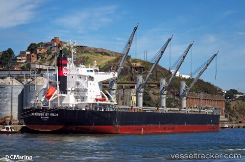
Vessel profile: SKOMER ISLAND is a Bulk Carrier with dimensions 199m x 32m.
This page combines live AIS, route history, probable destination signals, nearby traffic, and port activity for practical vessel monitoring.
The current position of vessel SKOMER ISLAND is 1.80667 lat / -87.14333 lng. Updated: 2026-05-23 12:10:37 UTCCurrently sailing under the flag of Hong Kong, China ![]()
SKOMER ISLAND built in 2010 year
Deadweight:
61510 tDetails:
Live Vessel SKOMER ISLAND Analytics (details, animations, etc.)
Recent AIS points (UTC):
2026-05-23 08:04:38 UTC · 2.48741, -87.53494 · SOG 11.1 kn · COG 149°2026-05-23 10:03:06 UTC · 2.15962, -87.34886 · SOG 11.5 kn · COG 150°
2026-05-23 11:04:00 UTC · 1.99335, -87.25097 · SOG 11.3 kn · COG 150°
2026-05-23 12:10:37 UTC · 1.80667, -87.14333 · SOG 11 kn · COG -1°