Seastrength
Current StatusWhere is the vessel?
Seastrength is currently in 380 nm S of Sao Filipe, based on AIS data received about 14h ago.
Latest AIS update:
Current position: 8.56534° N, 24.43018° W (380 nm S of Sao Filipe)
Average speed (last 7 days): Loading…
Average speed (last 30 days): Loading…
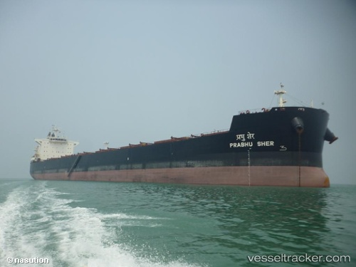
Vessel profile: Seastrength is a Bulk Carrier with dimensions 32m x 229m.
This page combines live AIS, route history, probable destination signals, nearby traffic, and port activity for practical vessel monitoring.
The current position of vessel Seastrength is 8.56534 lat / -24.43018 lng. Updated: 2026-05-23 17:45:49 UTCNearest reference points:
- Open sea (no nearby ports in database)
- Open sea, approx. 400 nm off the nearest listed port
- Open sea, approx. 555 nm off the nearest listed port
Details:
Live Vessel Seastrength Analytics (details, animations, etc.)
Recent AIS points (UTC):
2026-05-23 14:24:00 UTC · 7.95833, -24.71167 · SOG 11 kn · COG -1°2026-05-23 16:00:02 UTC · 8.24667, -24.58000 · SOG 11 kn · COG -1°
2026-05-23 16:04:28 UTC · 8.26099, -24.57417 · SOG 11.8 kn · COG 24°
2026-05-23 17:45:49 UTC · 8.56534, -24.43018 · SOG 11.6 kn · COG 20°