 EREIKOUSSA
Current Status
Where is the vessel?
EREIKOUSSA is currently in 105 nm E of Ubombo, based on AIS data received about 14h ago.
Latest AIS update:
Current position: 27.78125° S, 34.04615° E (105 nm E of Ubombo)
Average speed (last 7 days): Loading…
Average speed (last 30 days): Loading…
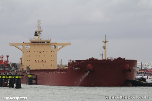
Vessel profile: EREIKOUSSA is a Cargo with dimensions m x m.
This page combines live AIS, route history, probable destination signals, nearby traffic, and port activity for practical vessel monitoring.
The current position of vessel EREIKOUSSA is -27.78125 lat / 34.04615 lng. Updated: 2026-05-23 13:23:07 UTCNearest reference points:
- 42 nm E of Richards Bay
- 162 nm SE of Xai-Xai
- 163 nm SE of Richards Bay
Currently sailing under the flag of Panama ![]()
Details:
Live Vessel EREIKOUSSA Analytics (details, animations, etc.)
Recent AIS points (UTC):
2026-05-23 09:20:57 UTC · -28.18645, 33.56936 · SOG 8.6 kn · COG 48°2026-05-23 10:11:55 UTC · -28.10419, 33.67253 · SOG 8.8 kn · COG 48°
2026-05-23 11:36:48 UTC · -27.96104, 33.83805 · SOG 8.8 kn · COG 46°
2026-05-23 13:23:07 UTC · -27.78125, 34.04615 · SOG 8.8 kn · COG 44°