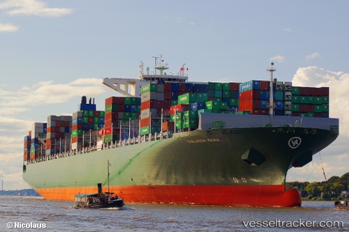
 Thalassa Mana
Current Status
Where is the vessel?
Thalassa Mana is currently in 25 nm N of Town Quays/Drogheda, based on AIS data received about 14h ago.
Latest AIS update:
Current position: 54.13241° N, 6.25610° E (25 nm N of Town Quays/Drogheda)
Average speed (last 7 days): Loading…
Average speed (last 30 days): Loading…
Vessel profile: Thalassa Mana is a Container Ship with dimensions 368m x 51m.
This page combines live AIS, route history, probable destination signals, nearby traffic, and port activity for practical vessel monitoring.
The current position of vessel Thalassa Mana is 54.13241 lat / 6.25610 lng. Updated: 2026-05-24 09:27:26 UTCNearest reference points:
- 14 nm NW of Town Quays/Drogheda
- Near Borkum
- Near Hoogkerk
Currently sailing under the flag of Liberia ![]()
Thalassa Mana built in 2014 year
Deadweight:
131862 tDetails:
Live Vessel Thalassa Mana Analytics (details, animations, etc.)
Recent AIS points (UTC):
2026-05-24 05:39:15 UTC · 53.93696, 5.04029 · SOG 7.8 kn · COG 27°2026-05-24 07:21:29 UTC · 54.07478, 5.50298 · SOG 13.9 kn · COG 82°
2026-05-24 07:43:16 UTC · 54.08768, 5.63938 · SOG 13.7 kn · COG 82°
2026-05-24 09:27:26 UTC · 54.13241, 6.25610 · SOG 12.3 kn · COG 82°