 vesseltracker.com
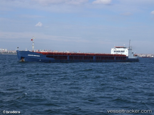
Find the position of the vessel Rostov na donu on the map. The latter are known coordinates and path.
marine traffic ship tracker show on live map
The current position of vessel Rostov na donu is 44.89901 lat / 36.17224 lng. Updated: 2025-11-12 04:30:08 UTCDetails:
Last coordinates of the vessel:
UTC, 45.31250, 36.46935, course: 204, speed: 52.1UTC, 44.89901, 36.17224, course: 207, speed: 8.3
UTC, 44.89901, 36.17224, course: 207, speed: 8.3
2025-11-12 04:30:08 UTC, 44.89901, 36.17224, course: 207, speed: 8.3
The ship also appears on the maps: