 CONGA
CONGA
Current Status
Where is the vessel?
CONGA is currently in 18 nm NW of Ile D’Ouessant, based on AIS data received about 14h ago.
Latest AIS update:
Current position: 48.91549° N, 5.76319° W (18 nm NW of Ile D’Ouessant)
Average speed (last 7 days): Loading…
Average speed (last 30 days): Loading…
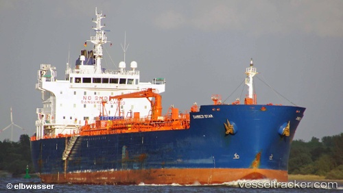
Vessel profile: CONGA is a Oil/Chemical Tanker with dimensions m x m.
This page combines live AIS, route history, probable destination signals, nearby traffic, and port activity for practical vessel monitoring.
The current position of vessel CONGA is 48.91549 lat / -5.76319 lng. Updated: 2026-05-23 14:00:33 UTCNearest reference points:
- 16 nm NW of Ile D’Ouessant
- 18 nm NE of Ile D’Ouessant
- 28 nm S of Porthgwarra
Currently sailing under the flag of Malta ![]()
Details:
Live Vessel CONGA Analytics (details, animations, etc.)
Recent AIS points (UTC):
2026-05-23 11:14:14 UTC · 49.17948, -5.06949 · SOG 8.2 kn · COG 240°2026-05-23 11:37:54 UTC · 49.15270, -5.14094 · SOG 9.5 kn · COG 240°
2026-05-23 13:39:03 UTC · 48.95695, -5.65522 · SOG 13.6 kn · COG 239°
2026-05-23 14:00:33 UTC · 48.91549, -5.76319 · SOG 13.7 kn · COG 240°