 VERTOM MARJOLIJN
Current Status
Where is the vessel?
VERTOM MARJOLIJN is currently in Near Tælavåg, based on AIS data received about 14h ago.
Latest AIS update:
Current position: 60.24614° N, 4.78173° E (Near Tælavåg)
Average speed (last 7 days): Loading…
Average speed (last 30 days): Loading…
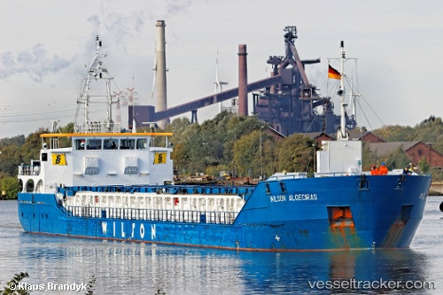
Vessel profile: VERTOM MARJOLIJN is a General Cargo with dimensions m x m.
This page combines live AIS, route history, probable destination signals, nearby traffic, and port activity for practical vessel monitoring.
The current position of vessel VERTOM MARJOLIJN is 60.24614 lat / 4.78173 lng. Updated: 2026-05-23 20:03:43 UTCNearest reference points:
- Near Glesvær
- Near TORANGSVAG
- Near Hakonsvern
Currently sailing under the flag of Portugal ![]()
Details:
Live Vessel VERTOM MARJOLIJN Analytics (details, animations, etc.)
Recent AIS points (UTC):
2026-05-23 15:56:45 UTC · 59.55692, 4.89003 · SOG 9.9 kn · COG 347°2026-05-23 16:01:59 UTC · 59.57122, 4.88889 · SOG 10 kn · COG 358°
2026-05-23 17:43:37 UTC · 59.85401, 4.89701 · SOG 10.2 kn · COG 0°
2026-05-23 20:03:43 UTC · 60.24614, 4.78173 · SOG 10.4 kn · COG 346°